What are USPS Postal Zones?
It’s commonplace to think about a destination in miles. You usually have an idea of how far you’re traveling, even if it’s only by the number of cities and states you’ll pass through. Shipping a package follows the same principle. You are aware of the distance between you and your customer, but you might not be familiar with how shipping carriers, such as USPS, calculate this distance to determine your shipping expenses.
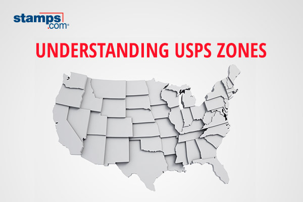
What are shipping zones?
USPS divides the US into shipping regions called zones, and this mileage is used to determine the cost of certain packages. Depending on the carrier service used, the distance your package will travel is then used to help determine your shipping costs. TL;DR: the further your package is traveling, the higher the shipping cost. The USPS services that use zones to determine cost include:
- Priority Mail®
- Priority Mail Express®
- USPS Ground Advantage™
However, flat-rate package costs are not determined by USPS zones. Instead, flat-rate packages can be used for shipments up to 70 pounds and will be charged the same price per box size, regardless of the destination.
What are the USPS shipping zones?
USPS has broken down the US into nine zones called Zone 1-9. These zones range from within 50 miles to 1801+ miles. Each zone and the mileage it covers can be found below.
- Zone 1: Non-local destinations within 50 miles
- Zone 2: Destinations within 51-150 mile radius
- Zone 3: Destinations within 151-300 mile radius
- Zone 4: Destinations within 301-600 mile radius
- Zone 5: Destinations within 601-1000 mile radius
- Zone 6: Destinations within 1001-1400 mile radius
- Zone 7: Destinations within 1401-1800 mile radius
- Zone 8: Destinations within 1801 mile radius or farther
- Zone 9: Destinations within Freely Associated States/Zip codes assigned for exceptional network circumstances*
*This doesn’t apply when shipping to between the three-digit zip codes of 962-969.
Tips to avoid shipping adjustments
Shipping adjustments are additional fees added to your shipping costs. These fees can range from entering incorrect shipping dimensions to using the incorrect packaging for a shipping service. When it comes to zones, adjustments and penalties can be given if a package isn’t shipped through your local post office. There’s also the risk of a package being incorrectly routed if an incorrect address is entered or the address is ineligible, and ultimately, the package can even be returned. Here are a few tips to avoid adjustments:
- Weight and measure packages multiple times before inputting them
- Enter package dimensions for shipments to avoid being charged for the wrong zone
- Utilize the free USPS Domestic Zone Chart to confirm the mileage shown is accurate
- Confirm addresses for all customers and recipients whenever possible and keep addresses legible
How does Stamps.com help me with USPS zones?
Fortunately, Stamps.com merchants don’t need to memorize and manually enter zones because zones are automatically accounted for when a label is created. However, it’s crucial to find the best shipping rate for your package, especially when packages are traveling long distances. Whenever you create a label on Stamps.com, simply select the Compare Rates and Services option from the Carrier drop-down menu.
Once selected, you can browse rates through our rate advisor with three different categories: Cheapest, Recommended, and Fastest. The cheapest category filter lists the available rates and services from cheapest to most expensive. The recommended category shows the Stamps.com recommended shipping methods. And finally, the fastest category filters rates by the fastest available carrier rates. You can compare rates in real-time and find the best deal for your business, especially when it comes to long-distance shipping.
Start your 30-day free trial at Stamps.com today!